Low pressure over Southwest Bay likely to intensify into Cyclonic storm: BMD
It was centered at 6am today (25 October) about 1320 kms south of Chattogram port, 1245 kms south of Cox's Bazar port, 1320 kms south of Mongla port and 1270 kms south of Payra port.

The low-pressure area over Southeast Bay and adjoining area is likely to intensify into a Cyclonic storm.
The low-pressure over Southeast Bay and adjoining area turned into well-marked low first and then into a depression over the same area, said a Met office bulletin.
It was centered at 6am today (25 October) about 1320 kms south of Chattogram port, 1245 kms south of Cox's Bazar port, 1320 kms south of Mongla port and 1270 kms south of Payra port.
 Keep updated, follow The Business Standard's Google news channel
Maximum sustained wind speed within 44 kms of the depression centre is about 40 kph rising to 50 kph in gusts or squalls. Sea will remain rough near the depression centre.
Maritime ports of Chattogram, Cox's Bazar, Mongla and Payra have been advised to hoist distant cautionary signal No 1.
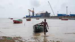
All fishing boats and trawlers over North Bay and deep sea have been advised to come close to the coast and proceed with caution till further notice.